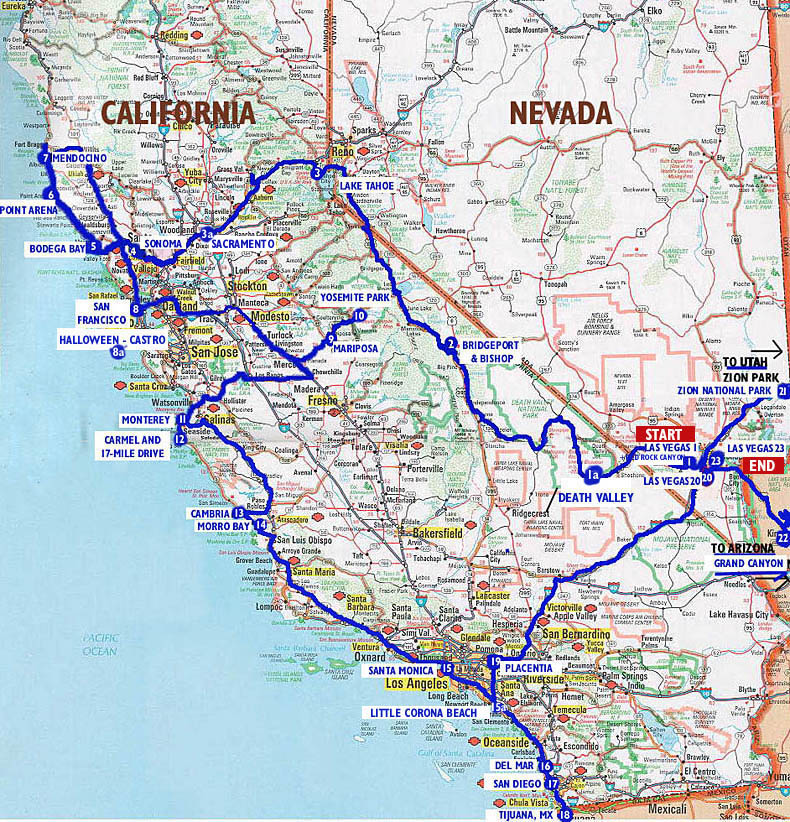
MAP
NAVIGATOR
FOR OUR VACATION PHOTOS
The map below shows the itinerary for our 5-week driving tour of parts of the West. To see a slideshow of my pictures of the trip, just click on any highlighted/numbered indicator on the map below. The main stops are numbered consecutively, if you really want to take the whole "tour"--and who WOULD? There are over 600 photos total. I've written little intro-snippets for each link about our visit to that area, but the pictures are the main point here.
Maximize
window size for best viewing - Resolution 1024 x 768 or better.
Press
the "Next" button to the right of each
image to see all slides for each location.
BACKGROUND:
We flew to Las Vegas in October, 2002. After touring east of the Sierras, and along almost all of the California coast, we traveled over to Utah to see Zion Park, and then to Arizona to see the Grand Canyon, spending Halloween in the Castro district of San Francisco, and an important birthday in Venice, below LA. We then returned to Las Vegas to fly back to New York on November 26. We clocked 4000 miles on the rental car's odometer--about the distance we had planned to travel by boat this year on the East Coast. Having been forced to abandon that trip after only 300 miles of sailing, this car trip was conceived as our consolation prize.
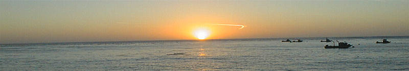
I took daily pictures using a six-year old digital camera. My "project" took less than a week, and is intended purely as travelogue, though some of the pictures stretch beyond the standard sunsets, ocean waves, and rock formations that you will (correctly) expect.
We were lucky about weather--it rained only one day in five weeks, and that day was the storm of the decade for the coast, providing photogenic waves of more than 20 feet onshore. Santa Ana winds kept temperatures in the south in the high 80s, so November turned out to be ideal for beach time.
Copyright©
2002 - Darrell Taylor
All rights reserved
for all images without written permission.